
How to Read a Topographic Map for Wilderness Navigation & Survival
Learn how to read a topographic map for wilderness navigation. This beginner-friendly guide explains contour lines, elevation, and how topo maps help you stay safe and on track in backcountry terrain.
How to Read a Topographic Map for Wilderness Navigation & Survival
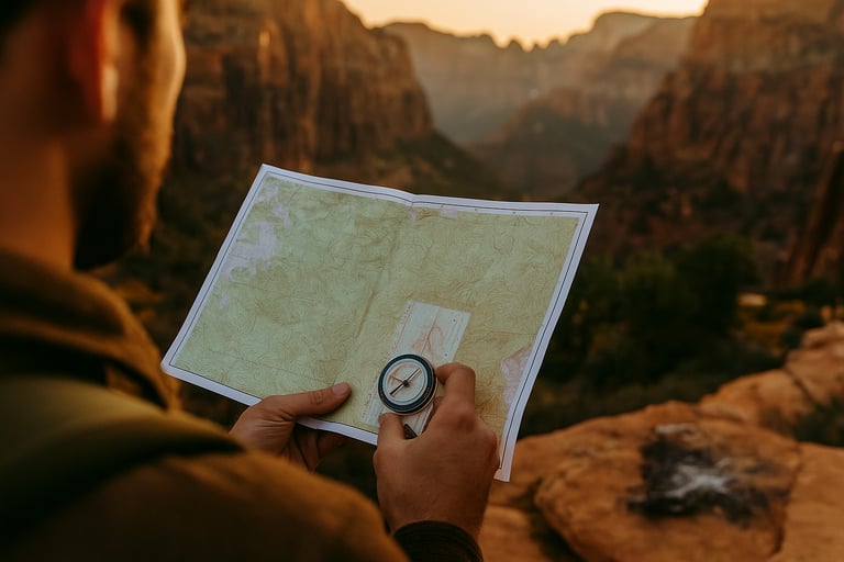
Understanding how to read a topographic map is one of the most essential skills for safe and confident wilderness navigation. These maps show the shape of the land, giving you a bird’s-eye view of hills, valleys, ridges, cliffs, and more — all through a series of contour lines and key symbols. Whether you're planning a backcountry hike or trying to stay oriented off-trail, learning how to interpret topographic maps can keep you from getting lost and help you make smarter route decisions.
In this article, we’ll break down how to read topo maps in a beginner-friendly way and show you how they pair with a compass for reliable backcountry travel.
What Is a Topographic Map?
A topographic map is a detailed, two-dimensional representation of a three-dimensional landscape. It shows elevation changes using contour lines and includes features like rivers, trails, ridgelines, peaks, and manmade structures. Unlike road maps, topographic maps are designed for outdoor adventurers, hikers, and wilderness survivalists who need a real understanding of the terrain.
Every topographic map includes a legend, a scale, a north arrow, and contour intervals — the vertical distance between each line. These features help you read and understand the elevation and terrain at a glance.
How to Read Contour Lines
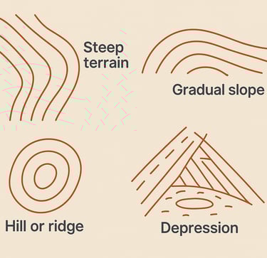
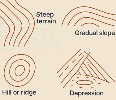
Contour lines are the most important part of a topographic map. These lines connect points of equal elevation, meaning that if you followed a contour line in the real world, you’d stay at the same height above sea level the whole time.
When lines are close together, it indicates steep terrain like cliffs or slopes. When they’re spaced out, the land is more gradual or flat. Closed loops represent hills or ridges, and when those loops have tick marks (hachures), they typically indicate depressions or sinkholes.
Understanding contour lines is the foundation of terrain reading, helping you spot elevation gain, valleys, and natural hazards before you ever leave camp. And if you’re still getting comfortable identifying land features by sight, learning how to use cairns and trail markers can also boost your overall navigation awareness on the trail.
Map Scale & Distance
Every topographic map has a scale that tells you how map distance translates to real-world distance. For example, a 1:24,000 scale means that one inch on the map equals 24,000 inches (2,000 feet) in real life. You can use the scale to estimate hiking distances and plan how long a route might take. To improve your precision even further, it’s important to learn about magnetic declination and why it matters for survival.
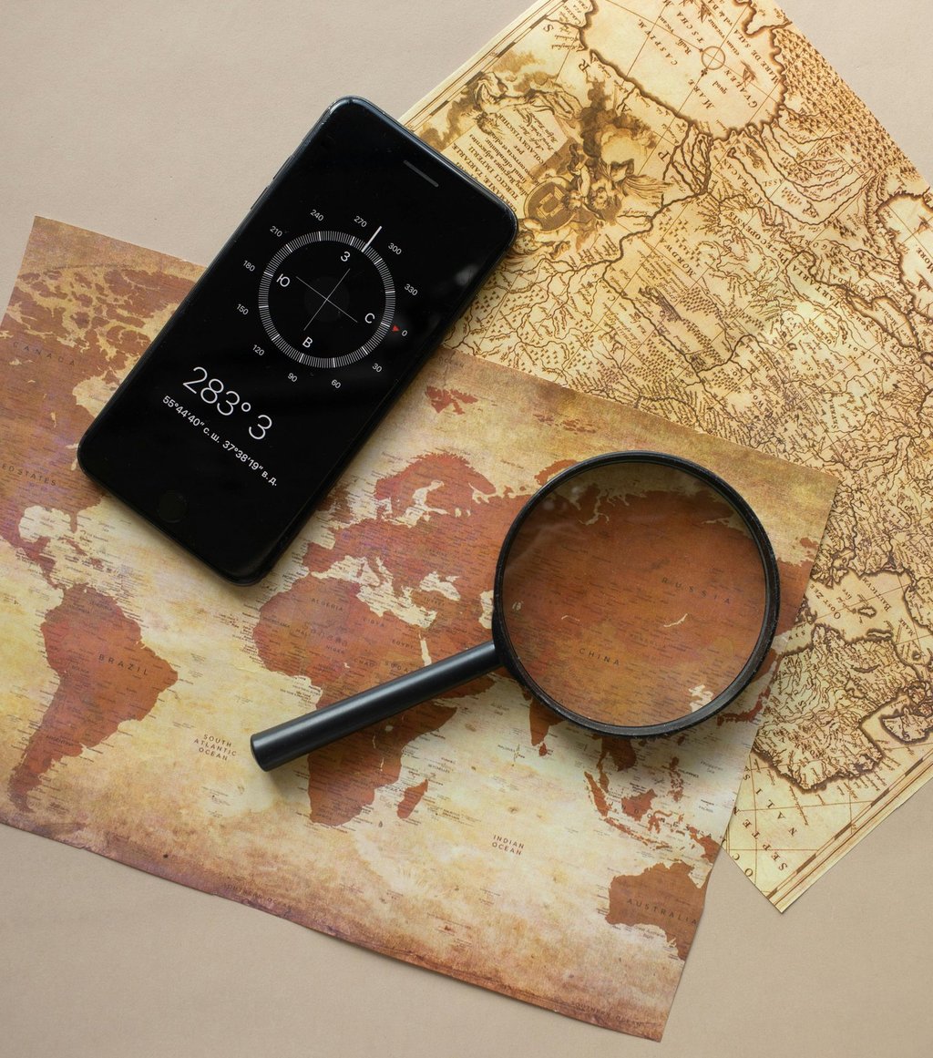
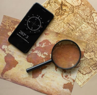
Topographic maps also show latitude and longitude or UTM grid coordinates, which help with GPS and compass triangulation — especially when you're off trail or in areas with no service.
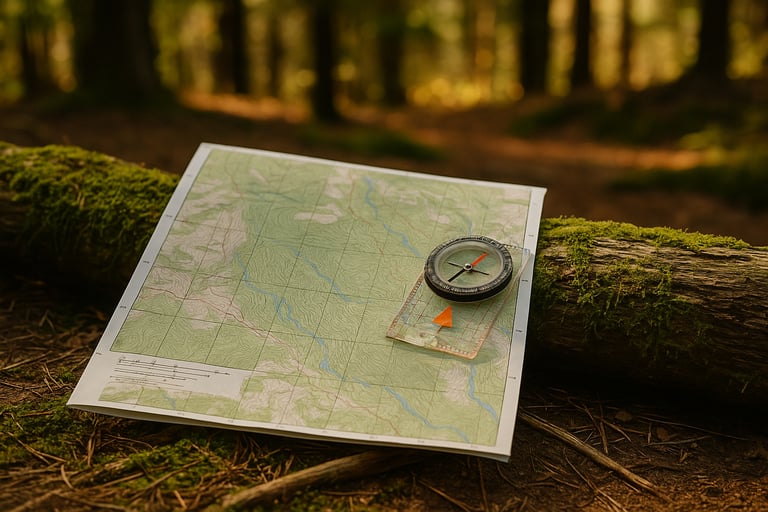
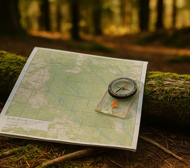
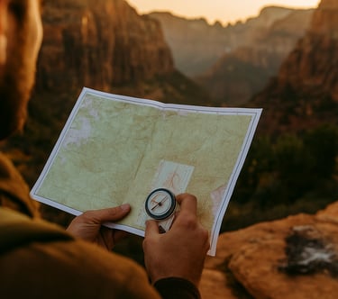
Using a Compass with a Topo Map
Once you’ve mastered the basics of reading contour lines and distance, it’s time to pair your map with a compass. First, orient your map so that north on the map matches magnetic north in the field. Then, identify your location and use terrain features around you — like ridges, rivers, and peaks — to confirm your position. This process is called “terrain association.” It’s also helpful to understand how to navigate without a compass, using natural features like the sun or stars when tools aren’t available.
You can also take compass bearings to line up where you want to go with your current direction. When done correctly, this gives you a precise heading that keeps you on track even when visibility is poor.
Why Topo Maps Matter for Wilderness Survival
Topographic maps are a vital part of any survival kit. If GPS fails, batteries die, or weather blocks your view, your map and compass remain reliable tools. Knowing how to read terrain from a map helps you avoid dangerous areas, find water sources, choose safe campsites, and stay oriented in dense forests or rugged mountain country.
Mastering topo map reading isn’t just about knowing where you are, it’s about making better decisions when things don’t go according to plan.
© 2025. All rights reserved About | Privacy Policy | Terms and Conditions | Affiliate Disclosure | Disclaimer